The problem
A route line tells you where you're going. It doesn't tell you where the water is, what the weather does at 12,000 feet, or how much your pack weighs on day four. Packrouter puts those answers on the same page as the route.
What I built
- GPX and TCX import that calibrates to pace and terrain, then walks you through the trip in a few questions
- A day-by-day itinerary built from the route, not typed by hand
- 16-day forecasts tied to elevation and location, plus historical weather for altitude and storm planning
- Water sources (springs, rivers, caches) and resupply (grocery, cafés, bike shops) laid along the route
- Gear inventory with pack-weight totals and swaps
- Five base maps with hillshade, contours and offline save, across three sports: bike, foot and packraft
Stack
- Next.js
- React
- Vercel
Decisions worth mentioning
- 01
One instrument, not a feature list
Weather, water, resupply and weight hang off the same route and the same days, so the plan reads as one document for the whole trip rather than five tabs and a spreadsheet.
- 02
Start from the file people already have
Most riders arrive with a GPX from a route guide or a friend. The planner starts there and asks a short walkthrough rather than making anyone redraw a route before they see value.
- 03
An editorial landing page for a data product
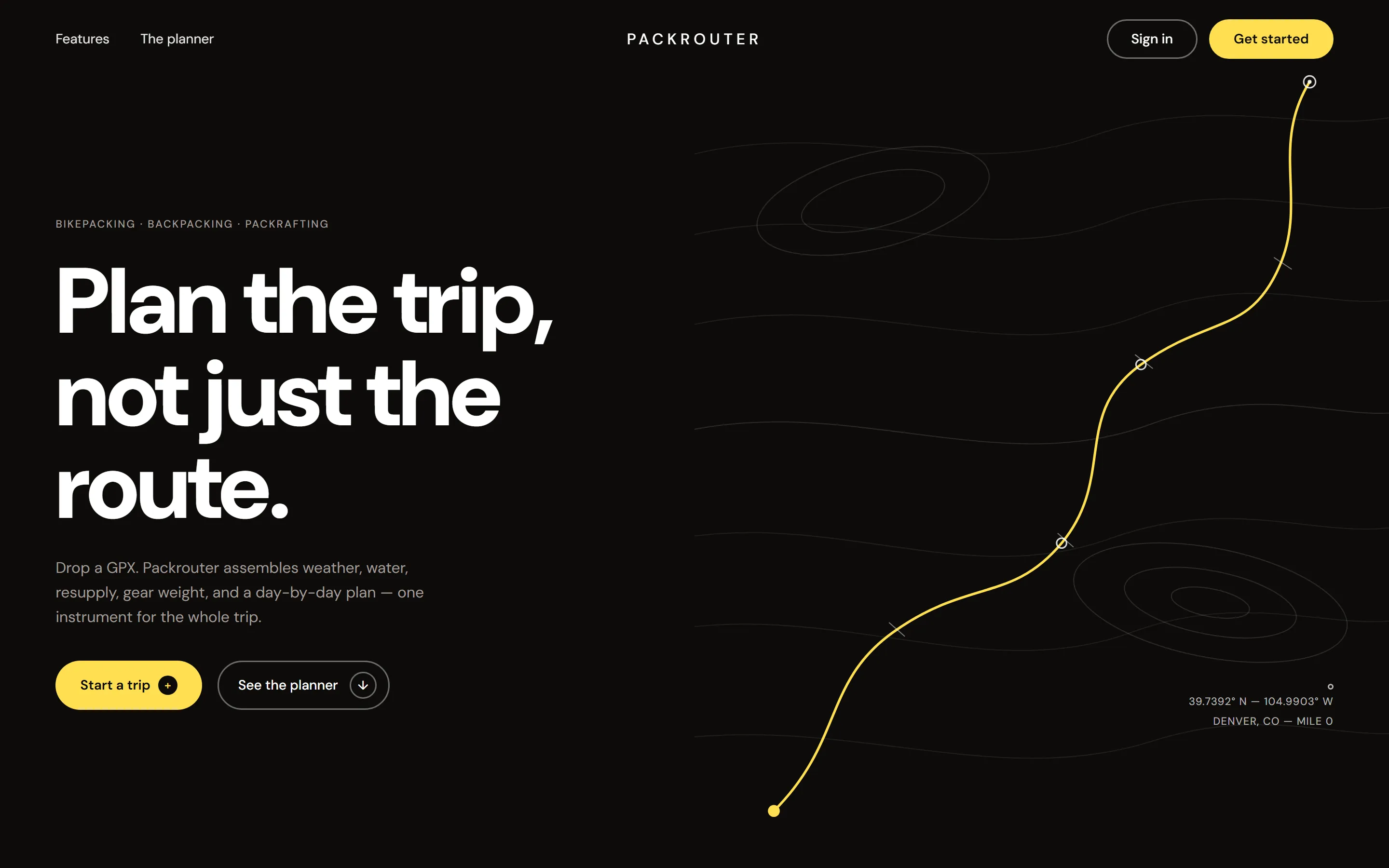
The marketing site is dark, quiet and typographic: one contour map, one route line, coordinates in the corner. The product is dense, so the pitch isn’t.